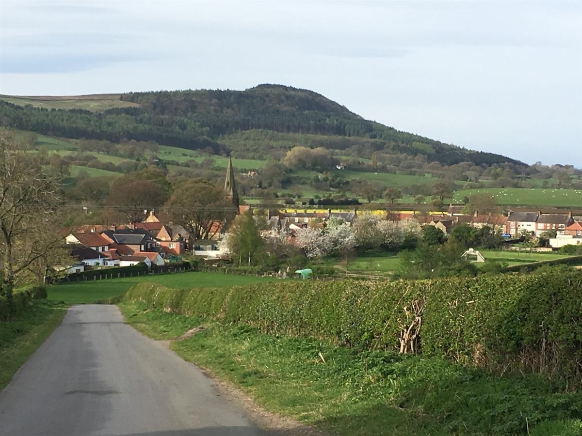
 SWAINBY is a village in the Hambleton District of North Yorkshire, located on the north-western edge of the North York Moors National Park. It is situated on the A172 road 8 miles north-east from Northallerton and 5 miles south-east of the small market town of Stokesley.
The resident population is around 600, swollen by additional visitors holidaying at the residential caravan park. The village is served by two public houses and a cycle cafe and there is also Church with a Church Hall and a Village Hall. There is a thriving playing field with facilities for both toddlers and older children including a BMX track, a kick-about pitch and a shelter.
The picturesque village is a popular gateway to the North York Moors with ramblers and cyclist attracted to the splendid scenery of the Cleveland Hills, the source of Crook Beck which flows through the village to join the River Leven. The National Cycle Network White Rose Route from Middlesbrough to Hull passes through Swainby on its way to Easingwold and York.
History
Early settlement took place in the Saxon period above the site of the present village where, later, a Norman Castle and the Old Church of Whorlton became the seat of the De Maynell family. The name Swainby first appears in records in 1428 and, according to legend, its settlement may be due to the Black Death driving the 10 surviving inhabitants down the hill from Whorlton.
The area prospered from the abundance of natural resources. Agriculture, forestry for timber, bark for tanning, quarrying of freestone and with rich minerals, combined with a reliable watercourse from Scugdale resulted in prosperity and the granting by Edward II of a weekly market and three-day fair. Locally produced flax and wool provided a cottage industry with a water powered Walk Mill by 1500. From the 18th Century Scugdale became noted for the weaving and bleaching of fine linens. At least four water-mills depended on the constant flowing of Scugdale Beck.
Change came rapidly during the 1850’s when a branch mineral line was constructed from Potto Station to Stockton to transport ironstone from the newly opened mines in Scugdale. The linen trade relocated to Osmotherley and a calcining kiln built in the valley. The population almost doubled and new housing was erected. Jet mines were also developed and lines of scars are still visible on the hillsides. Mining ceased in 1886 when Lord Ailesbury’s estate was sold and rail lines from the mine to Swainby were removed. The population shrank rapidly as mining families left for work elsewhere.
The Drove Road from Yarm to York lies just west of Swainby and a Pinfold still remains in the village, converted to a public garden.
Today the remains of the motte and bailey of Whorlton Castle, cut through by the roadway to the Old Church, lie behind the 14th Century gatehouse which carries the arms of the Darcy, Meynell and Grey families above the entrance. To the east of the castle stand the remains of the Church of the Holy Cross. Only the chancel and tower retain their roofs, but the graveyard is still in use.
The new church was built in 1877 down the hill in the centre of Swainby. There is a ring of six bells and a clock dating from 1891.